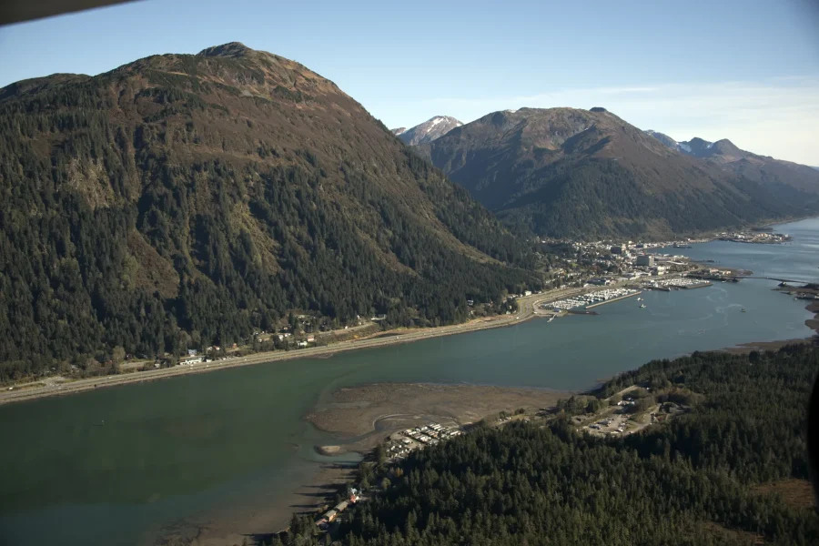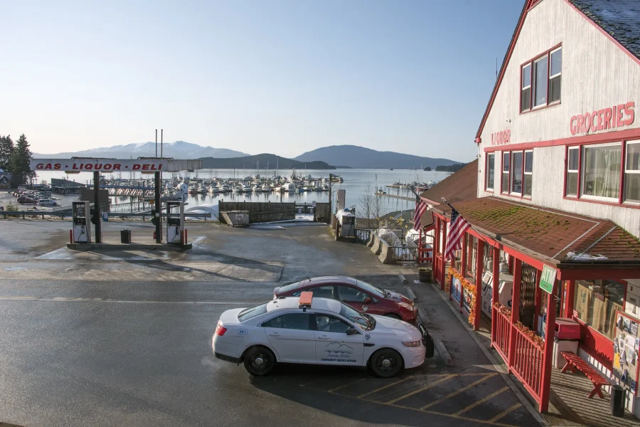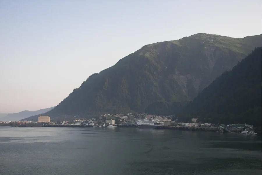
Downtown Juneau is compact in plan and vertical in experience. The working waterfront supplies a lower reference; public buildings, commercial streets, homes, museums, and arts spaces occupy the middle distance; forest and steep slopes close the frame. Read those layers together instead of treating the city as a row of visitor storefronts.
Start low, then look uphill
At the waterfront, notice berth operations, small-boat systems, wakes, weather, and the way Douglas Island answers across Gastineau Channel. Moving inland changes grade quickly. A short map distance may include stairs, wet surfaces, curb conditions, crossings, or a meaningful climb.

Taku Lodge Feast & 5-Glacier Seaplane Discovery
Leave behind the hustle and bustle of Downtown Juneau as you depart the waters with Wings Airways en route to the Juneau Icefield and the historic Tak...

5-Glacier Seaplane Exploration
The grandeur of Alaska's epic glaciers will thrill and delight you on Juneau's only FIVE glacier flightseeing tour. Leave behind the hustle and bustle...
Choose a route that matches current conditions and mobility. One useful pattern is waterfront, civic institution, uphill view, then an alternate return street. Confirm public opening hours and access rather than assuming an interior is available.
Civic interiors are part of the destination
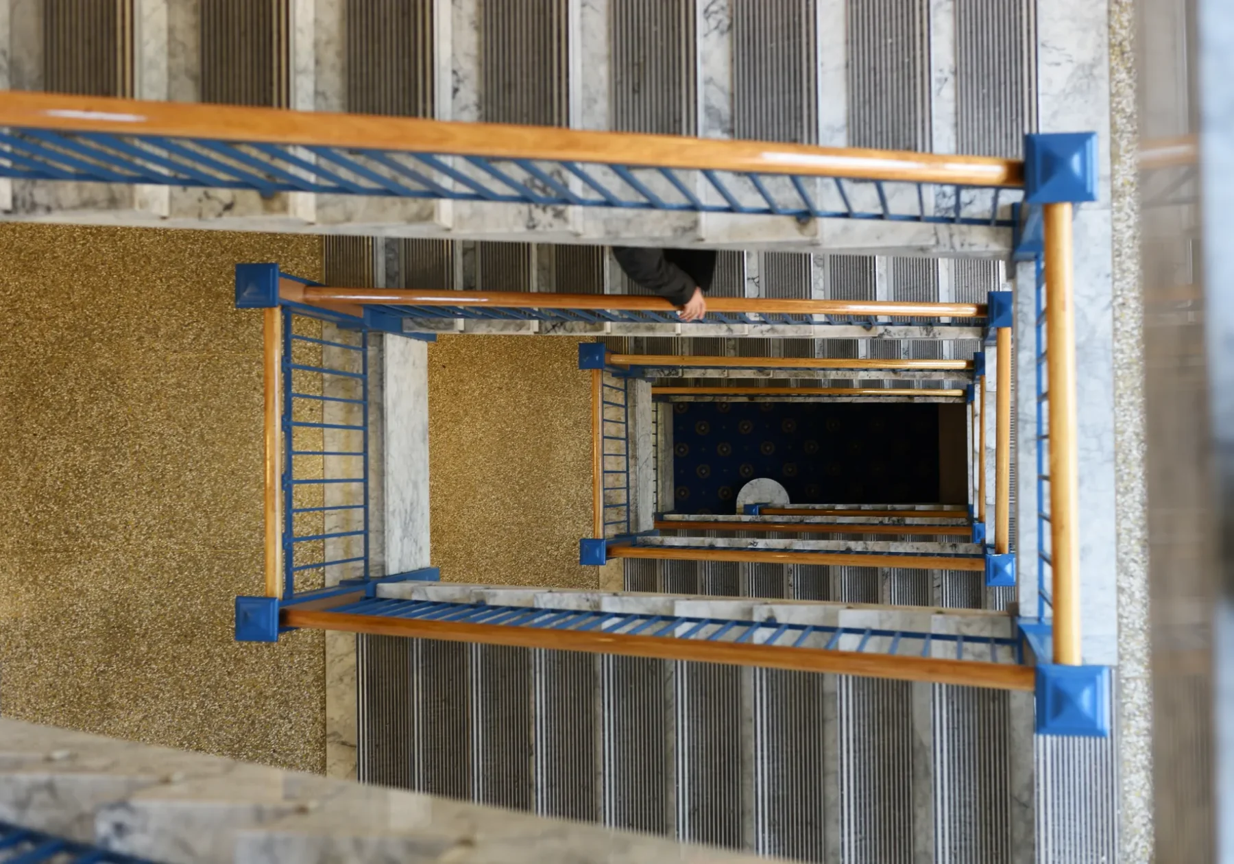
The Capitol, state offices, museums, libraries, and public gathering spaces are active institutions. Enter them with the same attention given to a trailhead: follow posted rules, respect security and work, and recognize that the city is in use.
Culture requires named context

Musher's Camp® & Sled Dog Discovery in Juneau Alaska
We know almost everyone is a puppy lover! Get ready to ride with a team of 16 powerful huskies many of which are vet...

Mendenhall Lake Canoe Adventure
Paddle across Mendenhall Lake, navigating past icebergs, surrounded by Alaskan wildlife on an exceptionally stable...

Juneau Shore Fishing Shuttle and Gear
At REEL1, We provide a guided fishing shuttle. We'll outfit you in fishing gear and take you to and from our favorit...
Taku Lodge Feast & 5-Glacier Seaplane Discovery
Leave behind the hustle and bustle of Downtown Juneau as you depart the waters with Wings Airways en route to the Juneau Icefield and the historic Tak...
5-Glacier Seaplane Exploration
The grandeur of Alaska's epic glaciers will thrill and delight you on Juneau's only FIVE glacier flightseeing tour...
Native-led institutions and named artists should speak through their own interpretation. Do not extract formline, clan property, regalia, language, or commissioned art into travel decoration. Follow photography guidance and credit work where permission allows its use.
A downtown field check
- Keep one lower reference—street, dock, or channel—in view.
- Identify the exact public institution you intend to visit.
- Check grade, shelter, and surface before choosing stairs.
- Leave space around people working or commuting.
- Use Civic & Culture for deeper context.
Still comparing Downtown Juneau Civic And Waterfront Interpretation?
Ask for tour ideas, hotel suggestions, or a simple trip plan that combines both.